Originally published at: The forecast for the week of Thanksgiving is finally coming into better focus, and it looks festive – Space City Weather
In brief: In today’s post we discuss the ongoing, record heat Houston is experiencing this month. We also look ahead to increased rain chances by Thursday night, and a significant pattern change next week for the Thanksgiving holiday.
Record heat update
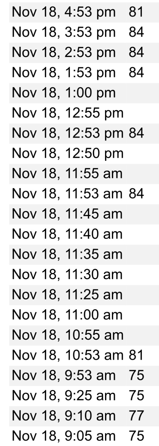
Houston’s official high temperature on Tuesday was 86 degrees at Bush Intercontinental Airport, breaking the previous record high of 85 degrees, set in 1948. The record high for today is 85 degrees (set in 1985). It’s going to be a close run, and my guess is that the city will tie the previous record. As for Thursday and Friday, the daily record highs are both 84 degrees. I suspect we will be close on both days, or tie the mark. Our flirtation with record highs should end Saturday, although we will remain anomalously warm into the weekend.
Wednesday
Due to light winds and high dewpoints (in line with low temperatures) we are seeing some fairly dense fog across the region this morning. You’ll want to take a little extra time in getting to work or school. This should clear out by around 9 am. Unlikely previous sunny days, however, we are likely to see partly to mostly cloudy skies. This should limit high temperatures to the low- to mid-80s. It is going to feel rather humid, however, as dewpoints in the 70s are very sticky for November. We also are likely to see some isolated to scattered rain showers later today, but overall chances are probably only on the order of 20 percent. Lows tonight will be muggy again, likely dropping only to around 70 degrees in Houston.
Thursday
This day will be a lot like Wednesday, albeit with a couple of differences later on. For one, the winds from the southeast should be a little more pronounced. They may gust up to 20 mph during the afternoon hours. And by Thursday night an approaching (and alas, dying) front will bring an increased chance of showers into the greater Houston region. I still expect these to be fairly scattered in nature, but we could see a few thunderstorms by early Friday morning.
Friday
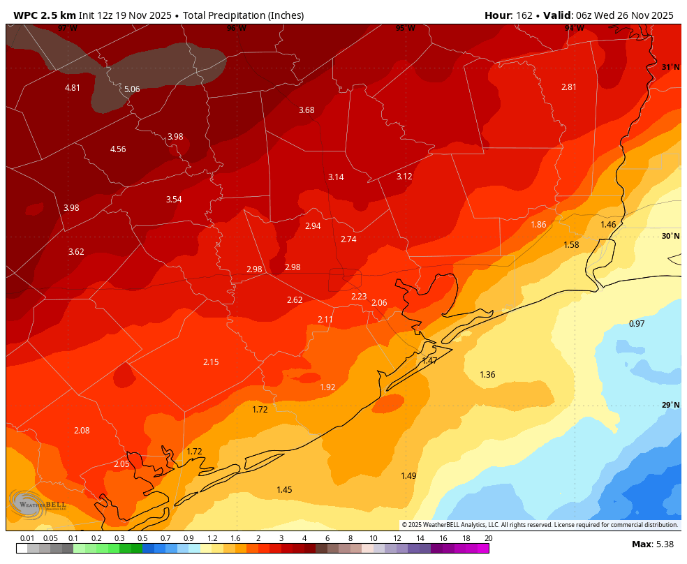
This will be another mostly cloudy, humid day, likely with highs in the low 80s. The real question for the forecast is the extent of showers and thunderstorms. We’ll have plenty of atmospheric moisture, but it remains to be seen how far the front pushes into Houston, and how much is perturbs the atmosphere. For now I think we have about a 50 percent chance of showers. Note that the rain accumulation map shown below is for totals through next Tuesday, so don’t expect this much on Friday. Most of us probably will pick up 0.25 to 0.75 inch through Friday.
Saturday and Sunday
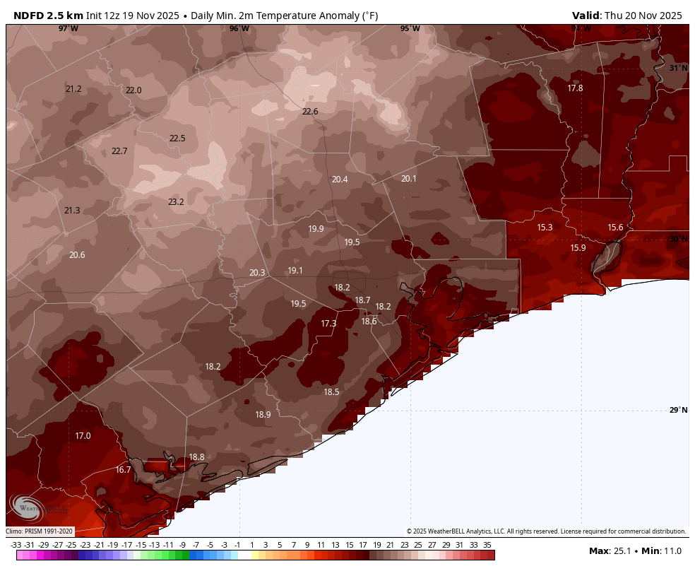
Over the weekend I think we’ll see the front stall over Houston and then, eventually, I do believe we probably will see some slightly cooler and drier air ooze into the region. So what does that mean for conditions locally? I expect highs in the vicinity of 80 degrees on both days, but by Sunday morning we might see lows in Houston in the 60 to 65 degree range. This is not cold by any stretch, but it would be cooler than we have been experiencing. As for rain chances, I’ll ballpark a 30 percent chance for both days, with overall modest accumulations. In short, if you have outdoor activities, you should be prepared for a brief shower (but not expectant).
Thanksgiving week cooldown
Another, stronger system is expected to approach the area on Sunday night or Monday of next week. This should set the stage for rainier weather on Sunday night into Tuesday morning, and the gradual influx of cooler and drier air. By Tuesday or Wednesday highs should be in the 70s, with nights in the 50s. Last week I predicted a high temperature of 68 degrees on Thanksgiving Day itself, and I think that’s still a reasonable expectation.
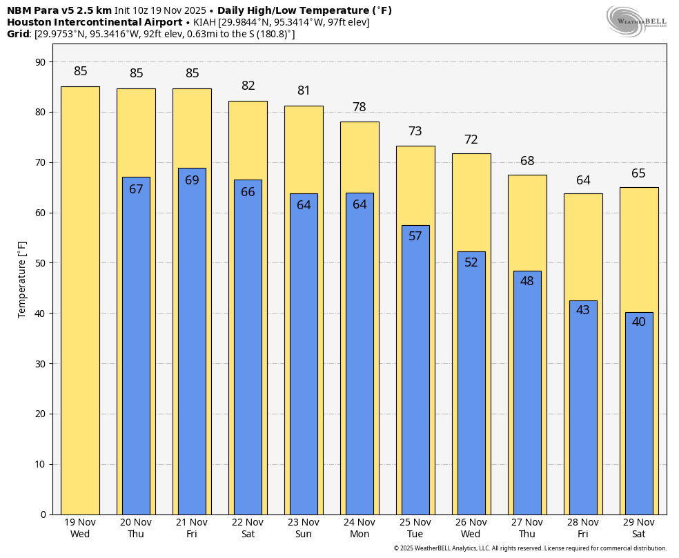
It’s looking like the latter half of next week, particularly Friday and Saturday mornings, will be on the chilly side, with lows possibly in the 40s. Our confidence in this Thanksgiving week cooldown is now pretty high. As for rain chances, I think they’ll remain elevated through Monday night or Tuesday, after which we should see clearing skies at least through Thanksgiving.
So all in all, after an exceedingly warm mid-November, it does appear as though the weather for Thanksgiving in Houston will feel quite a bit more festive.
Fundraiser
We are now half way into our annual fundraiser, which supports all of the work we do here. For next year, high on our list are key improvements to our app, as well as modernizing the distribution of our daily forecast by email. Your donations and/or purchase of merchandise now will ensure that we can undertake these initiatives. Thank you!