Originally published at: We think the Texas hurricane season has ended – Space City Weather
In brief: In today’s post we discuss the end of the Texas hurricane season, which is at hand. Fall now appears to be firmly on horizon, with a weak front today and then chances for more fronts in the coming weeks. Can I get an amen?
September 24th is here
Most years, around this date, we proclaim that the Texas hurricane season—that is, the period of the year when a hurricane could strike Texas—is over. We don’t do so every year. If it has been an especially busy hurricane season, or if there is a storm that could reasonably threaten the state within the next 10 days, or if we just don’t have any cold fronts on the horizon, we have been known to hold off. But not this year.
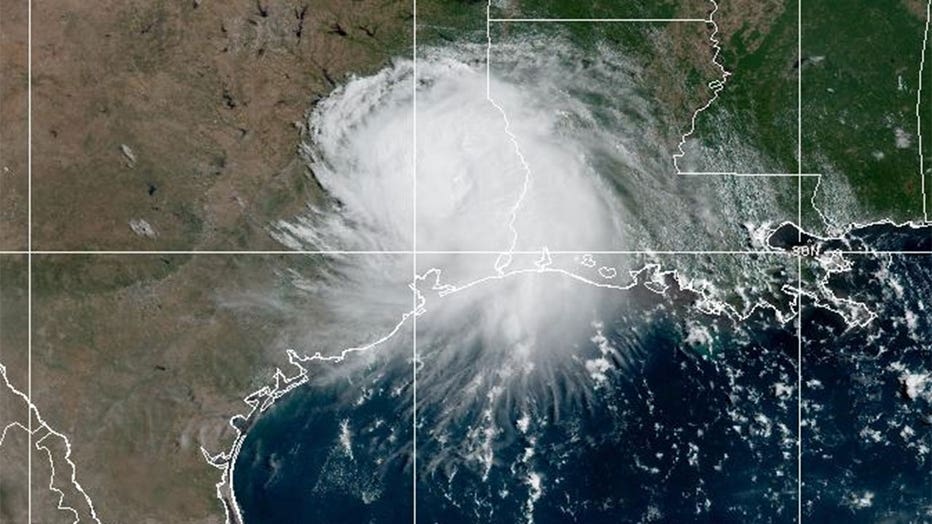
For starters, due in large part to El Niño, we still have not seen a single hurricane develop in the Atlantic basin this season. That has never happened in the modern era. Additionally, the Gulf looks quiet at least through the end of the month, and probably longer. And finally, we do have some fronts on the horizon: a weak one today, and potentially a another one next week. Add it all up, and we are confident that Texans can breathe easy when it comes to hurricane season this year.
Yes, more than two months remain in the official season (which ends on November 30). But by this time of year, in Texas, we start to see more influence from the mid-latitude westerlies, which tend to push tropical activity away from the state. The chance is not zero: historically there is about a 2 percent likelihood that a hurricane will strike Texas after this date. We also could see a weaker tropical storm make landfall. But our concern level is not high.
Albeit in fits and starts, fall is coming, and we encourage you to enjoy it without worrying too much about the tropics.
Thursday
Houston tied its record high (99 degrees) on Wednesday, but after a very hot mid-September stretch we should hopefully be done with the extreme heat here. A weak front will back in from the northeast later today, bringing some drier air with it (slowly). The front may spark a few isolated showers, but mostly I anticipate mostly sunny skies. Highs today will be in the low- to mid-90s, with northeast winds at about 10 mph. For lower humidity we are going to have to wait for tonight, or Friday morning.
Friday
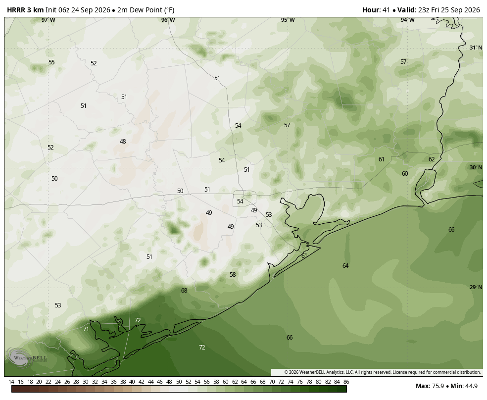
By or before sunrise a slightly stronger push of drier air should arrive from the northeast, and this now looks set to knock dewpoints down into the 50s during much of the daytime. This will be fairly noticeable. Lows on Friday morning will likely be in the lower 70s for most of the region (so pleasant-ish with the drier air), with daytime highs warming efficiently into the lower 90s. Friday evening should still see lower humidity before dewpoints begin rising late Friday night into Saturday.
Saturday and Sunday
Along with a return of humidity, the weekend should bring partly to mostly sunny skies, with highs generally in the lower 90s. There is a slight chance of showers with daytime heating on both days, but I think rain is unlikely. Lows should be in the upper 70s.
Next week
Monday should bring more of the same, but with an approaching upper-level system rain chances and cloud cover should start to increase on Tuesday, with widespread showers likely on Wednesday and possibly Thursday. Whether this helps drag a stronger fall front through remains to be determined. But we probably will be in the upper 80s, for highs, regardless with the increased cloud cover. As noted above, our flirtations with triple digit temperatures should finally be over.

 I am doubling down on not getting my hopes up for any meaningful cooler weather for the foreseeable future.