Originally published at: Scattered rain chances in the days ahead; next week’s front may have sticking power – Space City Weather
In brief: Houston’s forecast finally has some healthy rain chances in it, which marks a notable change from the last several weeks (months for some locations). We also look ahead to notably cooler weather arriving in Houston about one week from today.
Wednesday
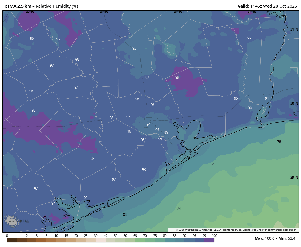
Houston broke its multi-day streak of sunny days on Tuesday with mostly cloudy conditions. Some areas even saw some light precipitation. These conditions combined to keep highs below 80 degrees for most of the region, including our official high of just 74 degrees at Bush Intercontinental Airport.
Today, will be somewhat similar think. We could see a smattering of rain showers again, and there will be some clouds. However I think there will be a little more sunshine, and this should help nudge high temperatures back up toward 80 degrees. Low temperatures will probably drop into the mid-60s tonight, with cooler conditions for outlying areas.
Thursday
This will be a straightforward forecast, with mostly sunny skies and highs in the lower 80s. With moderate winds turning easterly we should see an influx of some slightly drier air, and this will bring humidity levels down a bit. Lows on Thursday night should again drop into the mid-60s in Houston, with cooler conditions for outlying areas.
Friday and Saturday
By mid-day Friday we should start to see rising moisture levels in the atmosphere again, and this will increase both humidity and rain chances. The most likely period of rain will come between Friday night and Saturday afternoon, with overall chances probably around 50 percent for most locations. Amounts do not look super impressive, with most locations likely seeing a tenth of an inch of rain, or two.
Highs on both days will be in the vicinity of 80 degrees, with warm nights in the upper 60s. Skies will likely be mostly cloudy, with a fair amount of humidity. I do expect the showers to end, or be ending by late Saturday afternoon or early evening, so you should see fair conditions in the upper 70s during the trick-or-treating hour.
Sunday and Monday
To end the weekend and start next week I expect a pair of partly sunny days with highs in the low- to mid-80s. With dewpoints in the 70s it will feel pretty muggy outside as well.
Later next week
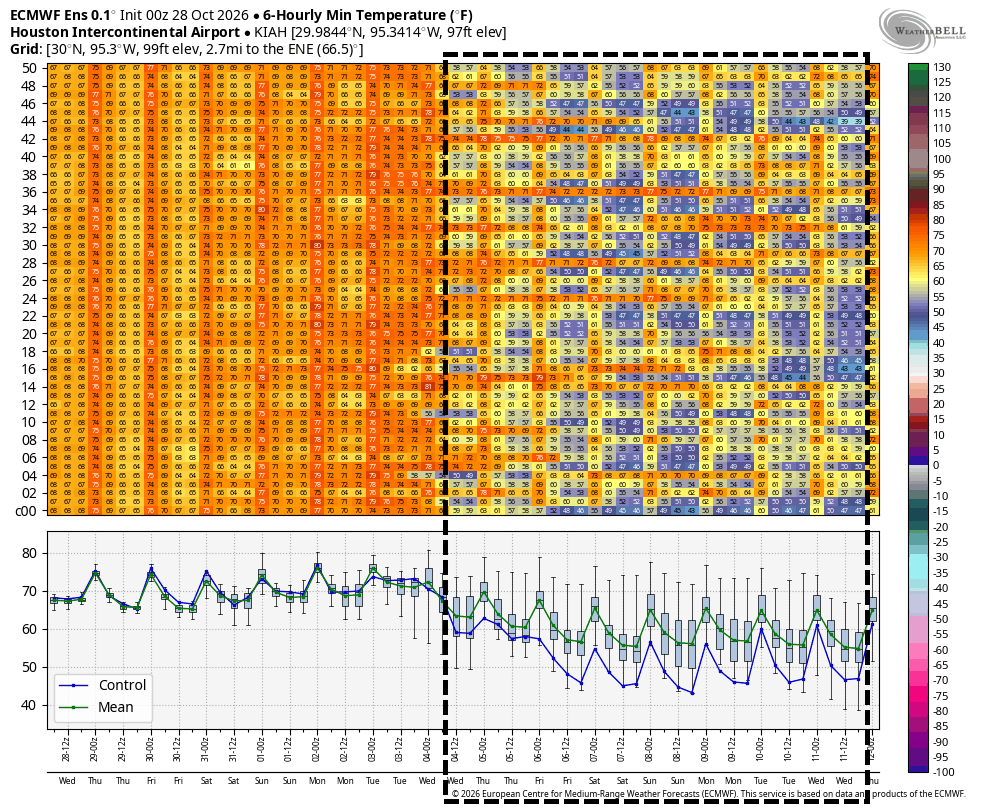
By Tuesday or more probably Tuesday night we should see the arrival of the region’s next real cold front, and by all accounts this one should have some staying power. We may well see some showers and thunderstorms with the front’s passage. After this we are going to see significantly cooler weather, with highs perhaps around 70 degrees and lows in the 50s or possibly even 40s for some inland locations. This cooler air could stick around through next weekend. All of the details on this front are to be determined still, but a significant pattern change does legitimately appear to be on the way.


