Originally published at: Fall’s first real front is finally on the horizon, with a stunning weekend ahead – Space City Weather
In brief: In today’s post we discuss our region’s rain chances for today and Tuesday. Then we look ahead to fall’s first real front, which should arrive on Friday and set the stage for a fantastic weekend.
A brief taste of fall
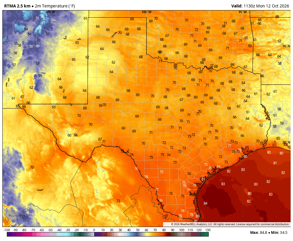
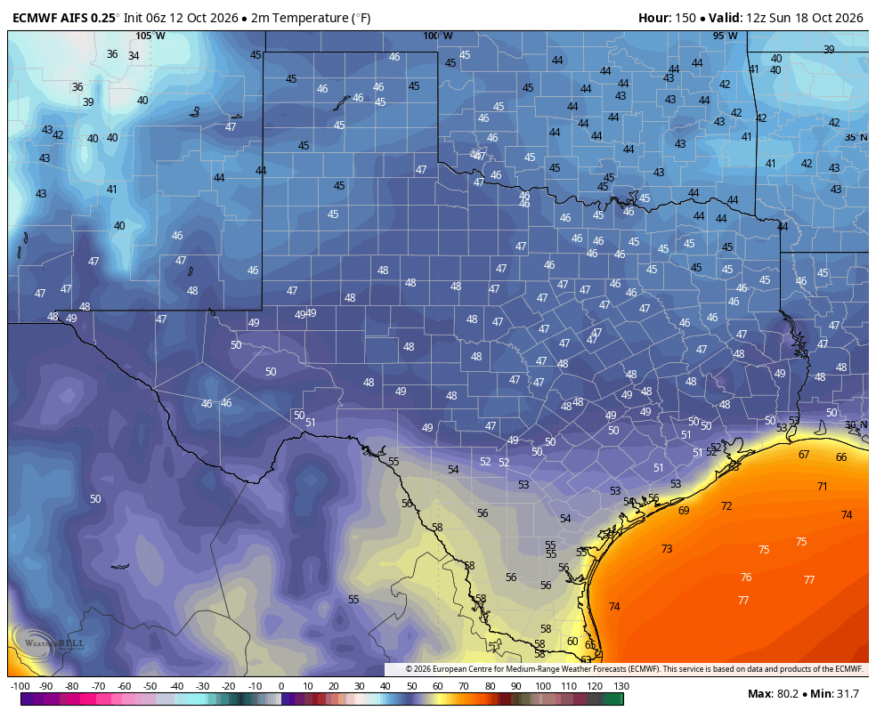
Friday and Saturday mornings recorded low temperatures of 65 and 64 degrees, respectively, in Houston. But we still experienced high temperatures this weekend in the vicinity of 90 degrees—so this was sort of a teaser for fall. We are increasingly confident that a stronger front will push through toward the end of this week, likely on Friday, that will usher in cooler weather. If everything works out we might see highs in the 70s during the coming weekend, with lows in the 50s. Doesn’t that sound nice? It does. As always there remains some uncertainty in the details.
Monday and Tuesday
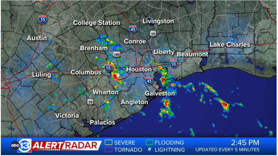
For now, however, the humidity is back. Dewpoints today will be solidly in the 70s, so the air is going to feel muggy. That also means there is plenty of moisture in the atmosphere to work with, and if this air at the surface can rise (no certainty give the profile of the atmosphere) we will see some daytime showers and thunderstorms in the region today. Overall chances are probably a little higher than 50 percent for areas west of I-45, and a little lower than 50 percent for areas east of I-45. Skies, otherwise, will be mostly sunny with highs around 90 degrees. Overnight lows will be warm, in the mid- to upper 70s.
Wednesday and Thursday
Some slightly drier air will work its way into our region on Wednesday and Thursday, and this will (very slightly) bring down the overall humidity levels. It should also end any chance of rain. So where does that leave us? With sunny skies and highs of around 90 degrees. Lows on Wednesday and Thursday night should drop into the lower 70s. Winds, during the afternoon and evening hours, will be a bit gusty, from the south.
Friday
This will be another sunny day. At some point on Friday the aforementioned cold front is likely to move into the area. Since there won’t be that much atmospheric moisture to work with, I don’t think we’ll see much (if any) rain with the front. High temperatures on Friday will be in the 80s, probably, but where in the 80s will depend on the timing of the front. Lows on Friday night will probably drop into the 60s, but again, this will depend on the timing and overall strength of the front. I expect gusty northerly winds with the front’s arrival on Friday and Friday night.
Saturday and Sunday
These look to be gorgeous days, with sunny skies and highs likely in the upper 70s to around 80 degrees and low humidity. Saturday night looks to be the coolest night of this front, with lows dropping into the 50s, probably, for almost the entire region. (Again, how cool will depend on factors we cannot entirely predict as yet). Sunday night is probably in the 60s.
I know a few thousand riders will be participating in the Bike Around the Bay this weekend. You should have mild temperatures, as noted above, but what about winds? Most of Saturday will probably have winds of 15 mph or so from the north, with higher gusts. Sunday should have much calmer winds, probably turning more easterly.
Next week
Temperatures and humidity will be on the upswing early next week as the onshore flow resumes. There are also some hints in the models that we could see some much needed rainfall beginning as soon as Monday. The bottom line is that it won’t feel much like fall again starting Monday, but with fall’s first real front in the books you know there will be more to come.