Originally published at: Pre-summer arrives in Houston with a chance at our first 90-degree day this weekend – Space City Weather
In brief: Houston firmly ramps into pre-summer this weekend with several chances at 90 degree highs between Saturday and Tuesday. Lower-end chances for a couple feisty thunderstorms exist today and perhaps around midweek next week before we eye a possible cooldown next weekend.
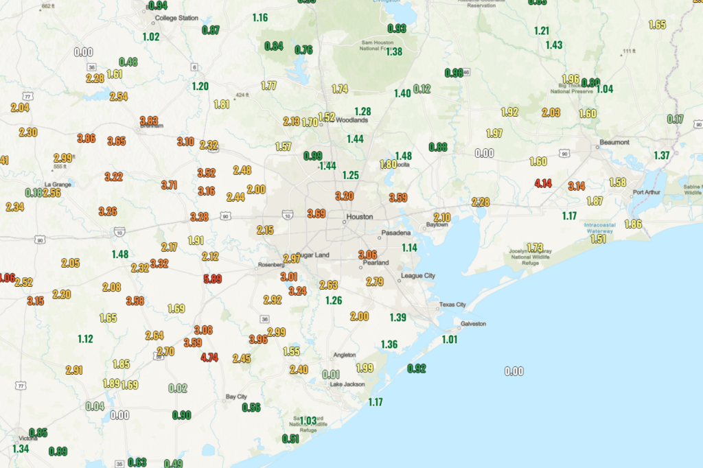
Pre-summer will be enroute to the Houston area over the next several days. That said, we’ve finally gotten some rain here. In fact, over the last 10 days, most of the area has seen anywhere from 1 to 5 inches of rainfall. Soil moisture has not entirely caught up to where it should be for this time of year, but it has improved vastly this month.
While we heat up, we will also be dodging some rain chances here and there.
Today
The area is highlighted in a marginal risk (level 1/5) for severe storms today, as there will be a very slight chance for a couple pop up storms later this afternoon. The highest chance for a couple storms would be north of I-10 and east of I-45, but with a springtime air mass, some sunshine, and instability, it’s not out of the question that a couple storms pop up outside of that quadrant of the area. Most of us will remain dry though. Highs will be in the mid to locally upper 80s today.
There may also be a couple more organized storms late this evening in Louisiana that drop north to south and could graze locations east of I-45 as well, though probably closer to Lufkin and Beaumont than Houston.
Weekend
The weekend should be mostly dry, but we cannot entirely rule out a pop-up shower or very rogue thunderstorm. Otherwise, it’ll be spring swampy with highs well into the 80s to perhaps near 90 degrees and plentiful humidity. Winds from the south at 10 to 15 mph will be what you get for the MS 150 ride this weekend. Some higher gusts over 20 mph are possible, especially in open area or on hill crests. Good luck to all the participants.
Monday & Tuesday
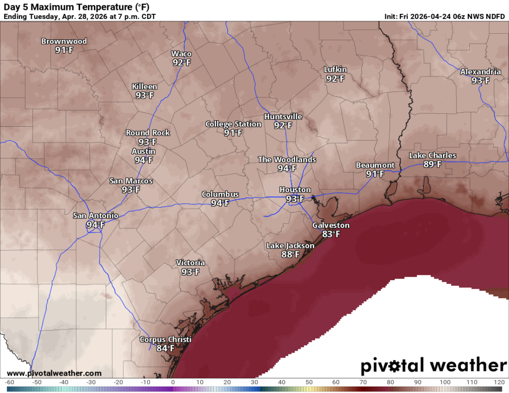
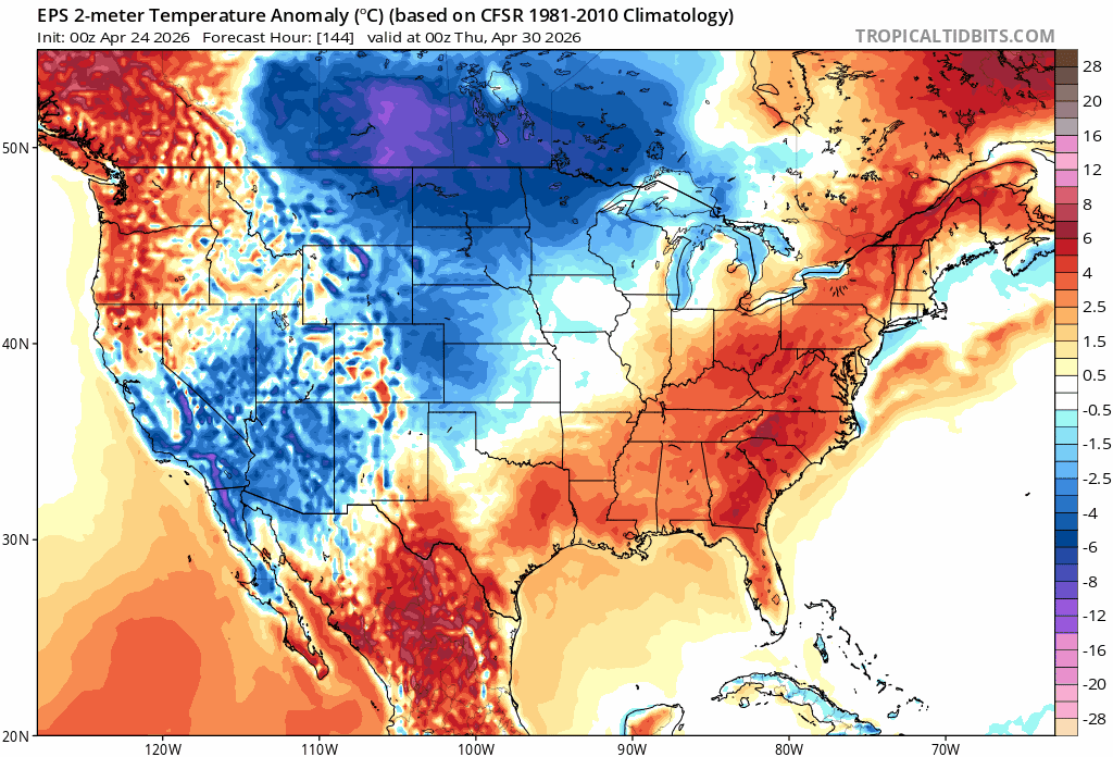
These should be our hottest days. While most forecast highs are into the low-90s right now, I would not be shocked if recent rains and some model tendency to get overeager lead us to see temperatures closer than 89 to 91 degrees here rather than 92 to 94 degrees. We shall see.
Other than the slightest of chances of a shower or storm with daytime heating, it looks just plain ole hot and humid. By Tuesday evening there may be a better organized line of storms dropping south from Dallas, but I currently expect it to fizzle out before getting here. Probably not an issue, but we’ll keep watch.
Later next week
Wednesday and Thursday should also be hot days with upper 80s to 90 or so. However, there is a chance of showers or a thunderstorm on those days, a slightly better chance. This may be a precursor to what could be a fairly strong cold front at the end of the week. The front may (should?) allow for us to have another refreshing series of days next weekend.
The signal in modeling is pretty stout, so I’m cautiously favoring a noteworthy cooldown next weekend. More on that Monday.