Originally published at: Everybody hold tight, because here comes Summer lite – Space City Weather
In brief: Houston is about to experience its warmest weather of the last six months, but at least there’s an expiration date. Widespread showers on Friday and/or Saturday will usher in a cool front that will bring cooler and drier air. Sunday, at this point, looks especially nice.
The 90s? Great decade. April temperatures, not so much.
As a member of Generation X, I’m firmly of the belief that the 1990s were the best decade. We balanced the budget, won the Cold War, had some great Thursday night television, and the internet was in its youth—a place of wonder before smart phones and social media. However that does not mean I’m a fan of 90-degree days in April.
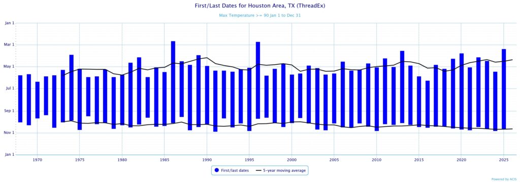
Houston got close on Saturday, with a mark of 89 degrees at Bush Intercontinental Airport. Sunday was a shade cooler. If not today, then Tuesday or Wednesday is virtually certain to hit 90 degrees. If we look at data over the last 60 years (when the city’s official meteorological station has been located at Intercontinental Airport) Houston has recorded its first annual 90-degree day as early as February and as late as June. The average first 90-degree day has been May 2 (this coming Saturday).
So we are not particularly early with temperatures in the 90s this year. And the good news is that we really do have a nice-looking cool front on the way for this weekend. So although summer is indeed coming, it is not here yet to stay.
Monday
We are starting out this morning very warm, in the mid- to upper 70s, and muggy. Skies are mostly cloudy but by mid-morning we should start to clear out. Highs this afternoon will range from the mid-80s near the coast to around 90 degrees for inland areas. Winds will be from the south at about 10 mph, with gusts up to 20 mph during the afternoon. Rain chances are near zero, but if a capping inversion breaks we could see some isolated showers and thunderstorms later today. Low temperatures tonight will only drop into the mid-70s.
Tuesday and Wednesday
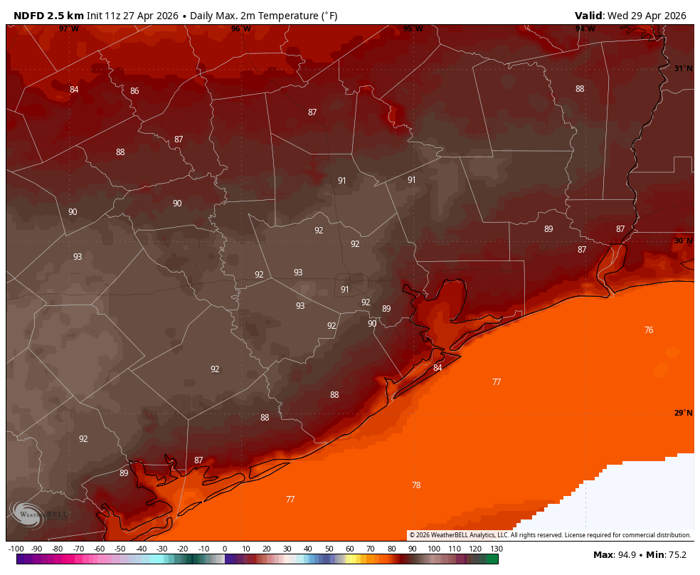
These will be the warmest days of the week, with inland areas possibly seeing highs in the lower 90s. Tuesday should be the sunnier of the two days, with a few more clouds on Wednesday. Humidity levels remain very high. Both days, again, will carry a low-end chance of showers and thunderstorms. Chances are probably only 10 percent each day. These will be our region’s warmest days in half a year.
Thursday
A weak front will approach the area on Wednesday evening, and this may lead to some slightly cooler weather, perhaps bringing highs down to the mid-80s. We are going to see some much better rain chances to end the work week, but it’s not clear to me that we’ll see much more than a smattering of showers on Thursday. We’ll see. Overnight lows should drop to around 70 degrees.
Friday and Saturday
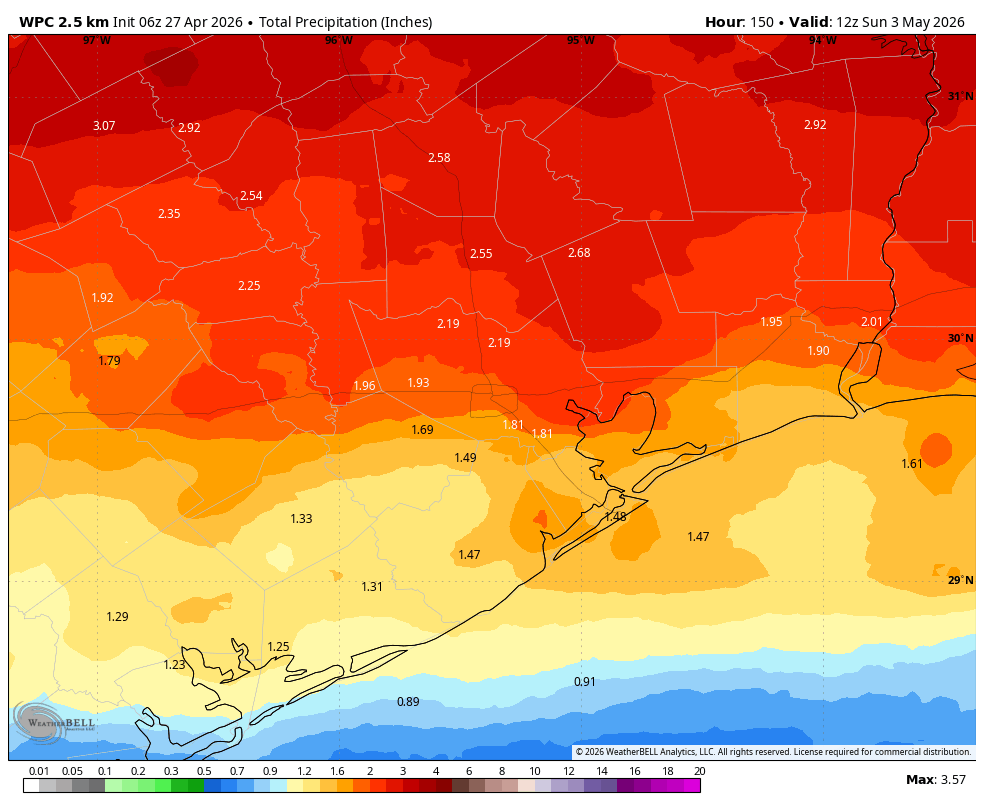
By Friday an increasingly disturbed atmosphere should lead to widespread showers, maybe during the daytime or maybe not until later in the afternoon or evening with a frontal passage. Overall the setup does not look super favorable for severe weather, but it’s too early to make that determination. What does seem likely is widespread showers starting some time on Friday and lasting well into Saturday. High temperatures on Friday will likely peak in the upper 70s, with highs on Saturday perhaps not pushing out of the upper 60s. Lows on Saturday night should drop into the 50s as rains end.
Sunday
At this point, with the knowledge that things could change, Sunday looks like it could be a really fine day. Skies are likely to be mostly sunny, with mild temperatures in the 70s, low humidity, and light winds. It’s an early candidate for one of the 10 nicest days of the year. We’ll see. Lows on Sunday night will probably drop into the 50s again for most of Houston.
Next week
Houston should start out in the 70s next week before returning to the mid-80s. I don’t think we’re going to get back to the 90s, but we shall see!