Originally published at: On Tuesday morning Houston’s freeways created clouds of their own – Space City Weather
In brief: Houston’s daily storm chances will remain high the next couple of days, with activity likely peaking during the afternoon hours. Also, we discuss a rare phenomenon observed on Tuesday, when clouds formed directly over the region’s freeways!
Freeway induced clouds
Yesterday a storm chaser named Ethan Mok shared satellite images from around 7 am to 8 am CT showing Houston in the visible spectrum. In them, remarkably, clouds lined up directly over most of the freeways in the greater Houston region. Quite clearly these interstates, particularly the Katy Freeway with its more than two dozen lanes, were inducing their own micro-climate.
Anyone ever seen interstate-induced clouds before? Low level CU developed perfectly along major interstates around Houston this morning. Kind of shocking to see such perfectly lined up clouds. #txwx pic.twitter.com/cn1BWf2wqL
— Ethan Mok (@Emokwx) June 2, 2026
I’m not sure precisely what is happening here, but it must be a combination of several factors. Winds on Tuesday morning were very light, allowing heat from the concrete surfaces (which were warmer than the surrounding air) to rise almost straight up. In addition, particulates from vehicle exhaust provided nuclei for water vapor to condense around, creating seeds for clouds.
We don’t, frankly, understand exactly why it happened on Tuesday morning, or whether this is a particularly common feature. I have never seen a manifestation like this, however. It does highlight that one of the more active areas of meteorology research is how cities change weather. A recent study, co-authored by a Texas A&M University atmospheric sciences professor (and friend of the website) named John Nielsen-Gammon, found that cities can boost pop-up thunderstorms.
Wednesday and Thursday
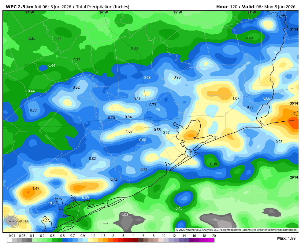
We saw widespread showers and thunderstorms on Tuesday, with some of the more efficient cells producing upwards of 2-3 inches of rainfall. Our overall pattern will remain similar for today and Thursday. Most of the area is likely to see rainfall during the next 48 hours, but amounts will vary significantly, from low tenths of an inch to 1 to 2 inches. Like on Tuesday, some of these thunderstorms could briefly turn severe as they rumble through. Skies will be partly sunny during the afternoon, with highs likely in the mid- to upper-80s.
Friday, Saturday, and Sunday
We’ll see continued rain chances this weekend, however the daily likelihood of showers will probably fall back to around 30 to 50 percent each day, with any storms most likely to develop during the afternoon hours along with peak heating. Highs each day will be in the vicinity of 90 degrees, a little warmer inland and a little cooler closer to the coast. I could see this forecast trending a little drier or holding the same in terms of rainfall. Hopefully we’ll firm things up by tomorrow’s post.
Next week
The most likely outcome for next week is that Houston temperatures go up a little bit, with highs in the lower 90s, and our daily rain chances fall back to something like 20 or 30 percent daily. Such a pattern would be very typical for early- to mid-June.