Originally published at: In which I make a bold (and possibly wrong) prediction about Houston’s weather – Space City Weather
In brief: In today’s post I make a bold prediction about Houston’s weather for the rest of the year. Also, temperatures continue to trend downward for the weekend, as the cold front looks even more robust. But do be mindful of strong winds on Friday afternoon, evening, and overnight.
So long, 90s?
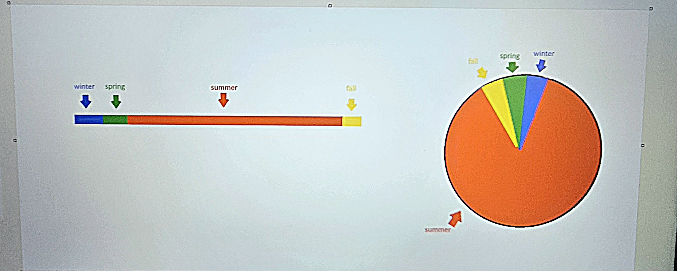
Culturally, the 90s are probably my favorite decade: Super Nintendo, burning CDs, Seinfeld, the last decade before social media and screens began to take over, the end of the Cold War, and so much more. It felt like a much simpler time. But I digress—the 90s are great for a decade, but not so much for temperatures. And we’ve had a lot of them this year, 128 days and counting in Houston. Now that we’re in mid-October, shouldn’t we be saying sayonara to the 90s?
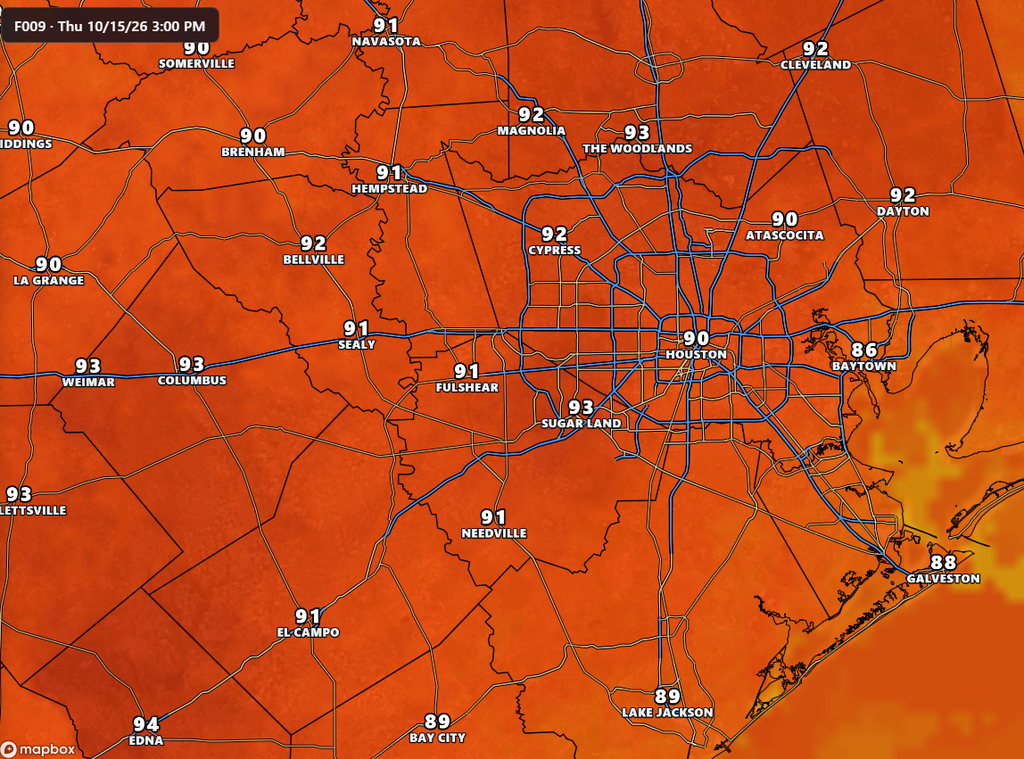
We should, and hopefully we will. I think there’s a decent chance that today is the final 90-degree day in Houston for the calendar year 2026. I cannot make this a locked-in guarantee. Houston has been known to reach highs of 90 degrees all the way through October. But we’re only a couple of weeks from that date, and we are running out of opportunities.
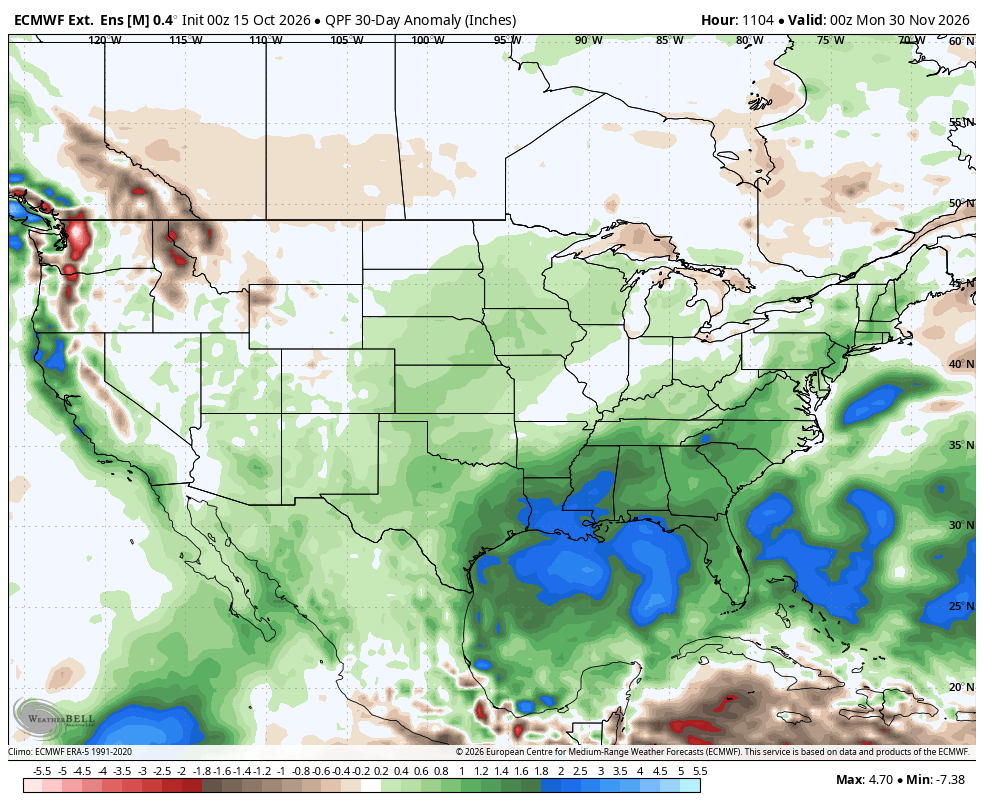
We are going to cool down very nicely this weekend, and at least some lingering effects from the front will last into early next week. Then we’re going to have a period from about Wednesday into next weekend when I think there’s a chance for us to reach the upper 80s, or possibly 90 degrees. But the modeling is far from certain about this, and I believe it’s just as likely that we stay comfortably cooler than that. So my bold and hopeful prediction is that after today, we’re done with 90s in Houston.
Thursday
As noted above, we’ve got one more warm-to-hot day today, with partly sunny skies and highs in the vicinity of 90 degrees. It will be fairly humid, but not as oppressively so as earlier in the week. There is about a 10 percent chance of a stray shower passing over, but it would be brief. Lows tonight will again drop to around 70 degrees in Houston.
Friday
We’ll start out somewhat muggy, but by around 6 to 9 am we are going to see winds shift to come from the north pretty sharply. This is likely to be a truly in-your-face front with the abrupt wind shift. Humidity will drop some initially, and then much drier air will follow during the early afternoon hours. I think it is possible that we’ll see some scattered showers along and ahead of the front, but probably nothing too serious. In terms of highs, I expect much of Houston to remain in the 70s on Friday, and some inland areas might even fall into the 60s during the afternoon hours. (Yeah, folks, it’s quite a front in terms of temperatures).
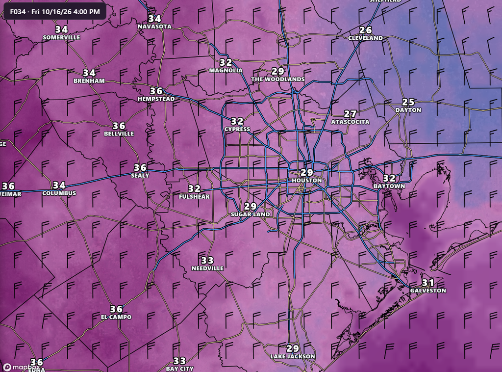
A notable thing to look out for is gusty winds. I’ve been talking about these for most of the week, but we could see gusts on Friday afternoon and Friday evening up to about 35 to 40 mph in Houston, with even higher gusts along the coastline later on. Lows on Friday night also look to be lower than previously expected, probably in the lower 50s for much of the region away from the immediate coast.
Saturday
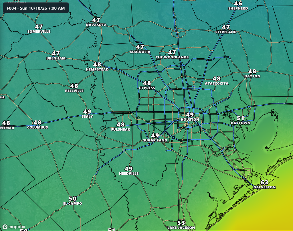
It’s going to start out chilly, especially with northerly winds continuing to blow through the morning hours at about 15 mph, gusting up to 25 mph. For some inland areas, with the winds, it could briefly “feel” like temperatures in the 40s on Saturday morning. However winds should start to slacken during the afternoon hours. Look for highs of around 70 degrees, with sunny skies. As winds die down, we should see an even cooler night on Saturday, with lows in neighborhood of 50 degrees in Houston, and potentially the upper 40s for some inland areas.
Sunday
This will be another sunny day, but with lower winds. Expect highs in the mid-70s and low humidity. This will be one of the 10 finest weather days of the year in Houston. Enjoy!
Next week
This front now appears to have more sticking power than thought, so we’re not going to warm up too abruptly next week. Highs on Monday will be in the upper 70s, and I think most of next week should bring highs in the low- to mid-80s. Lows will be in the 60s. There will be a smattering of rain chances, but nothing I can point to with any confidence.