Originally published at: Heat continues with isolated to scattered thunderstorm chances across the Houston region – Space City Weather
In brief: Houston remains in a holding pattern this week, with rather warm temperatures but also some chances for afternoon showers and thunderstorms. Rain chances likely increase this weekend, but our overall confidence in this is not yet super high.
Big picture
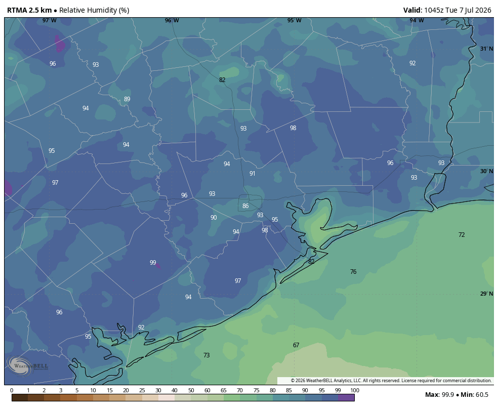
Our weather will be in a holding pattern, more or less, for the rest of the work week. Houston is falling between high and low pressure systems, and given the time of year our weather will continue to be hot and mostly sunny. However, with the lack of a dominant high pressure system, we will remain susceptible to seabreeze-induced showers and thunderstorms during the afternoon and evening hours. Therefore, although the overall likelihood of rain in any one location is low, the probability of being able to go outside during the early evening hours and seeing lightning on the horizon is fairly high.
The pattern will shift a bit this weekend. On one hand high pressure from the west will become a little more prominent, but on the other it appears as though we will see a more pronounced flow of moisture into the atmosphere. The higher pressure favors lower rain chances, but the increased moisture levels favor higher rain chances. For now I’m leaning toward more widespread shower activity starting Saturday, but I’m about as confident in this forecast being locked down as I am in the play of the US Men’s Soccer Team goalie.
Tuesday through Friday
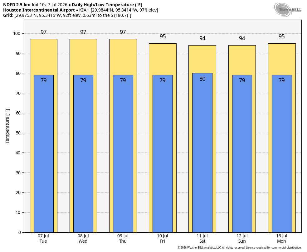
As noted above each of these days, at this vantage point, looks to be more or less the same. We expect high temperatures generally in the mid- to upper-90s across the Houston area, with a slight chance of rain showers. These daily rain chances are probably on the order of 20 to 30 percent. So a few parts of our region may pick up a quick inch of rainfall, whereas most locations see none. Also, these storms will be capable of producing lightning, so the ability to take cover is important.
With that said, for most of us, it will be mostly sunny most of the time. Low temperatures at night remain warm, only briefly falling below 80 degrees. Winds will generally be light, only picking up a little bit during the afternoon hours, with gusts up to 15 or 20 mph possible.
Saturday and Sunday
As noted above, we’ll see an increase in atmospheric moisture levels this weekend, and that could translate into more widespread shower activity. At this point I’m thinking daily rain chances are probably about 50 percent, but I want to caution that I still don’t feel confident yet in that prediction. Regardless, I do anticipate a few more clouds this weekend to go along with slightly lower temperatures.
Next week
Now we’re really in the dart throwing phase of the forecast. However at this point my guess is that we continue to see slightly cooler weather and better rain chances during the first half of next week. But of course “cooler” weather during July is a relative term. It’s still going to be plenty humid, as is always the case in Houston, in July.



