Originally published at: Heat continues, with a slight chance of rain showers this weekend – Space City Weather
In brief: In today’s post we discuss high pressure, and what impacts the region might see from a weak front that will move in from the northeast this weekend. Also, August looms.
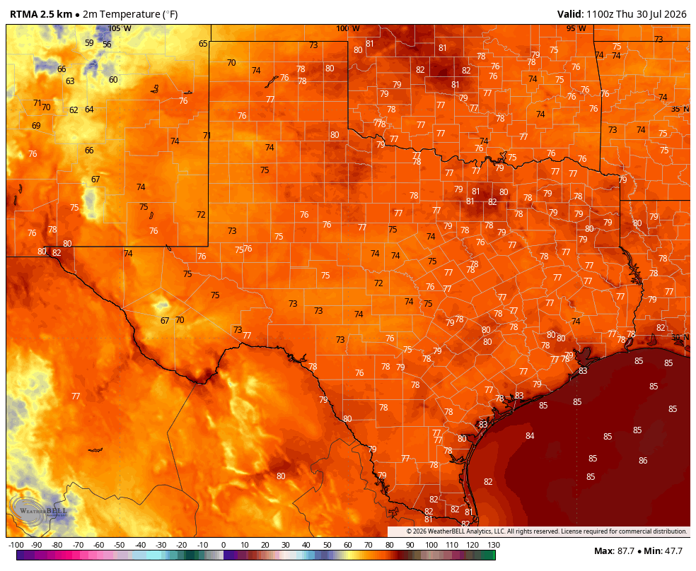
Big picture overview
High pressure continues to dominate our region’s weather, and it will do so for the rest of the work week. By this weekend high pressure will slowly ease westward, allowing a weak front to drop into East Texas. Since we are literally in the dead of summer, this front likely will not bring too much in the way of meaningful relief to our humid air mass. However it could spark a chance of showers later on Saturday, Saturday night, or Sunday. These would be briefly lived. High pressure likely returns next week, bringing more high summer heat along with it.
Thursday, Friday, and Saturday
If you liked the weather the past couple of days you’re in luck, because that’s more or less in store for the next three days. We can expect highs in the upper 90s to the low 100s, with sunshine and ample humidity. Light south winds will become a bit gusty during the afternoon hours. Rain chances? Maybe 10 percent daily, although by Saturday evening or Saturday night they may bump up to around 30 percent given the backdoor front mentioned above.
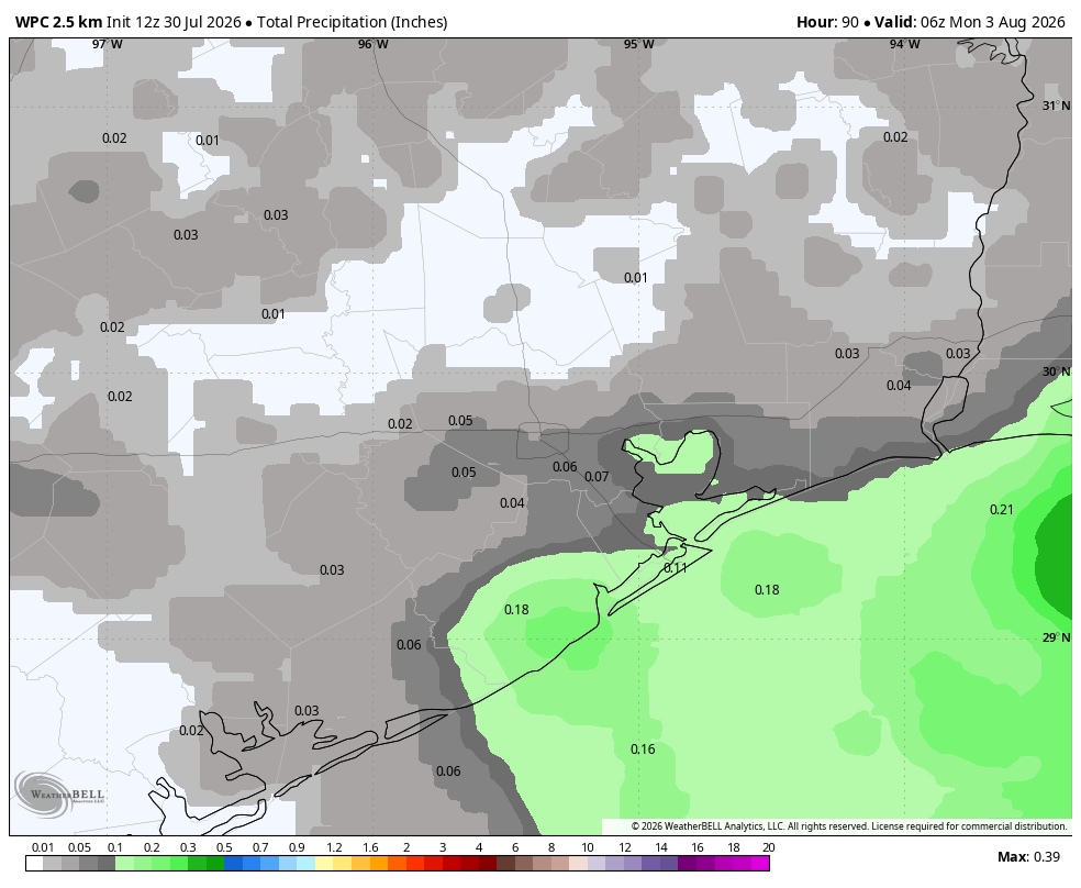
Sunday
Skies will again be mostly sunny and hot. However we may well see some scattered showers and a few thunderstorms associated with the backdoor front during the daytime. The other thing I’m watching for is the potential for slightly lower dewpoints, in the 60s. If this were to happen it probably would be in the Sunday morning to Sunday evening time frame, for areas north of Interstate 10. The lower humidity effect would be very modest, but potentially noticeable. No promises.
Next week
Next week’s weather looks a lot like this week’s: Very hot, humid, and sunny. Possibly some increased rain chances toward the end of next week. Possibly.
