Originally published at: Happy Fall Day, everyone! – Space City Weather
In brief: It’s officially Fall Day in Houston, with the season’s first 65-degree temperature reading this morning. We are also excited to announce that we’ll be holding our Fall Day Celebration on October 25 in Houston. More details in today’s post, which discusses our largely unchanging weather for the next 10 days. We also talk tropics.
Fall Day celebration
The temperature at Houston’s official weather station, Bush Intercontinental Airport, fell to 65 degrees this morning (and it currently has reached 64, as of 6:20 am). That means we can officially declare today as “Fall Day” in Houston. If you’re unfamiliar with this little tradition, it’s simply the day when we get our first real taste of fall in the city after a long summer.
Speaking of this, I’m excited to announce that we are planning a special Fall Day Celebration for Saturday, October 25. This year’s event will also commemorate the 10th anniversary of Space City Weather. This year we are gathering at Midtown Park from 10 am to Noon. We will have more information soon, but rest assured we are planning a special event for you and your families. Come celebrate with us!
Tuesday
This deligtfully dry air will persist today and tonight before a more easterly flow starts to raise humidity. As a result we can expect sunny skies today, with high temperatures around 90 degrees. With dewpoints in the 50s, this afternoon will like Monday bring a somewhat dry heat into the area. This evening will be pleasant. Lows tonight will drop to around 70 degrees in Houston, with cooler conditions further inland.
Wednesday through the weekend
As high pressure builds from the west, I don’t expect much variability in our weather for the remainder of the week. Each day should bring sunny skies and high temperatures in the low 90s in Houston, with areas further inland (i.e. Katy and The Woodlands) likely pushing into the mid-90s. Dewpoints will be in the 60s, generally, so while the air will be more humid, it won’t be the super sticky humidity we see during summertime in Houston.
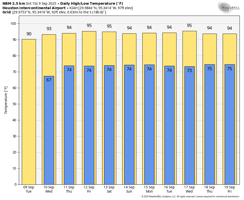
Lows will generally fall into the low- to mid-70s. Rain chances throughout this period will basically be zero, except for the immediate coast, which might see slightly higher chances (i.e. 10 or 20 percent) on some afternoons.
Next week
This pattern has to change at some point, right? Well, eventually. Mostly, however, I expect it to persist into at least the middle of next week. At that point rain chances may tick up slightly, but I don’t see any evidence of the next front at this time. So after today it will be late summertime weather for awhile.
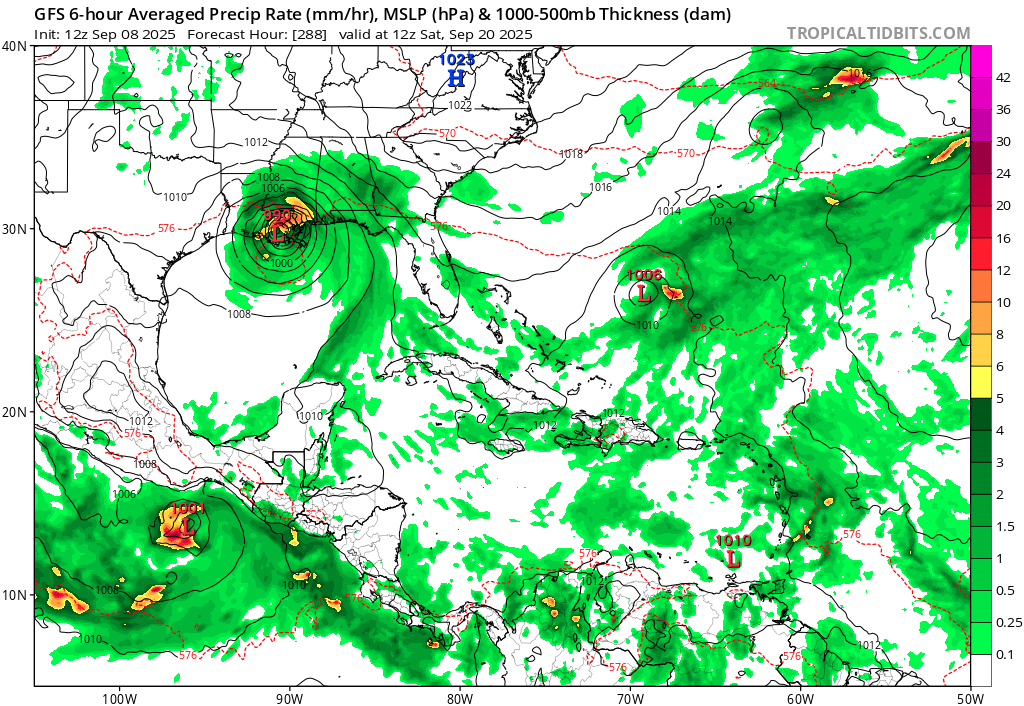
Atlantic tropics
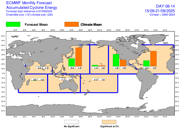
It’s very quiet there for what is typically the peak of the Atlantic hurricane season. We have zero concerns at this point. When we look out for the next 10 days, conditions look to be fairly quiet. The sub-seasonal forecast from the European model, shown above, predicts significantly less activity than normal in the Atlantic basin (40 percent of normal). By the last 10 days of the month this model is back to predicting near-normal activity in the Atlantic, and overall conditions should improve. But long-time readers of Space City Weather will know that our window for seeing a hurricane landfall in the greater Houston region is closing. I’m certainly not ready to declare the season “over” for Texas, but we are just weeks away from that happening. So we’re in the home stretch.